
Brickell Neighborhood Guide: Things to Do, Parks and More
Brickell is one of Miami’s densest and most urban neighborhoods, combining high-rise residential towers, offices, restaurants, shopping, public transit, waterfront access, and ongoing development within a compact area. The district is highly walkable by Miami standards and benefits from Metromover, Metrorail, the Underline, Brickell City Centre, Mary Brickell Village, and access to the Miami River and Biscayne Bay. This guide explains how Brickell works beyond the skyline, covering its history, major landmarks, parks, dining, shopping, transportation, walkability, waterfront access, new construction, and nearby neighborhoods. It also highlights an important point for residents and property buyers: Brickell is compact, but not uniform. Conditions can change significantly from block to block and building to building, especially in terms of transit access, construction, parking, condominium costs, and everyday convenience.

28.09.2026

15 minutes

September 29, 2026
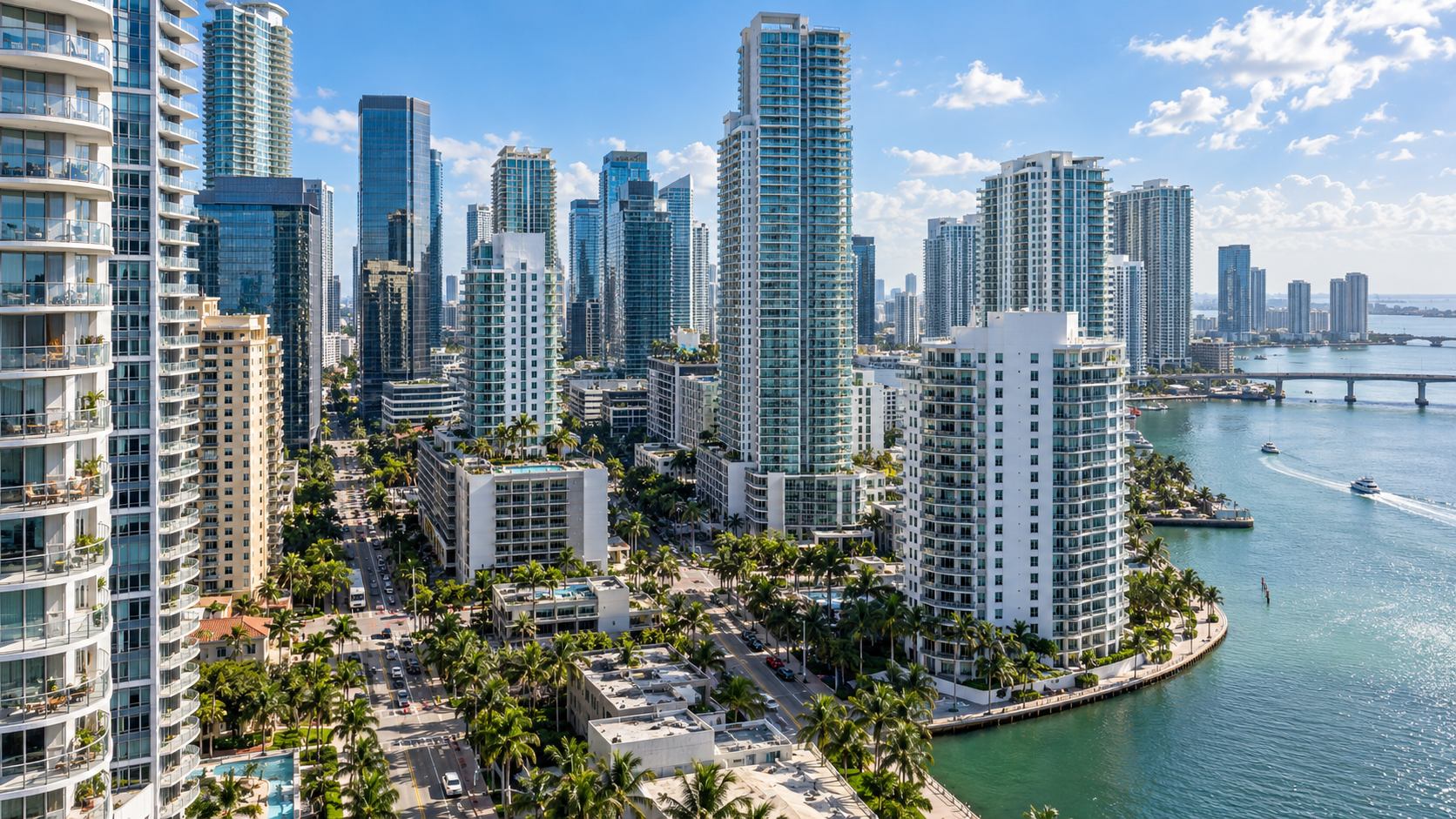
Brickell is one of Miami’s clearest examples of vertical urban living. Immediately south of the Miami River, the neighborhood concentrates condominium towers, offices, hotels, restaurants, shopping and public transit within a relatively compact area. Long associated with banking and finance, Brickell now functions just as much as a residential neighborhood as it does an employment center.
For visitors, Brickell offers restaurants, rooftops, shopping, parks, archaeological history and waterfront walks rather than a traditional beach experience. For residents, renters and property buyers, its defining features are high-rise housing, substantial condo inventory, access to Metrorail and the free Metromover, and a growing network of pedestrian and public spaces. Those advantages come with trade-offs: traffic, construction, expensive parking, condominium carrying costs and a waterfront that remains only partly continuous.
Understanding Brickell therefore requires looking beyond the skyline. Its appeal comes from how closely housing, work, transit, dining and daily services are compressed into the same urban district — and from the limitations that come with that density.
About Brickell
Where Is Brickell?
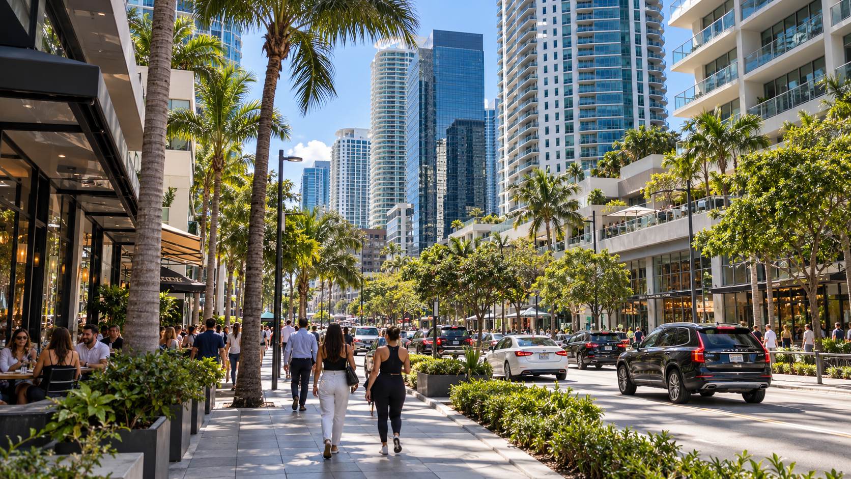
Brickell is within the City of Miami in Miami-Dade County, directly south of the Miami River and across from Downtown Miami’s central business district. Brickell Avenue forms its principal north-south spine, while South Miami Avenue is another major commercial and residential corridor farther west.
The exact boundaries depend on the source. Miami’s Downtown Development Authority uses a defined Brickell Financial District subdistrict within its Greater Downtown planning area, while everyday use of “Brickell” often extends farther south along Brickell Avenue. That distinction matters when comparing population, housing or real estate statistics: a DDA district, ZIP code, Census geography and property-search area can produce substantially different numbers.
Brickell should also be distinguished from Brickell Key. The man-made island sits immediately east of the mainland and is connected by a short bridge near the mouth of the Miami River. Although closely associated with Brickell, it has a different street pattern, waterfront setting and predominantly residential character.
What Is Brickell Known For?
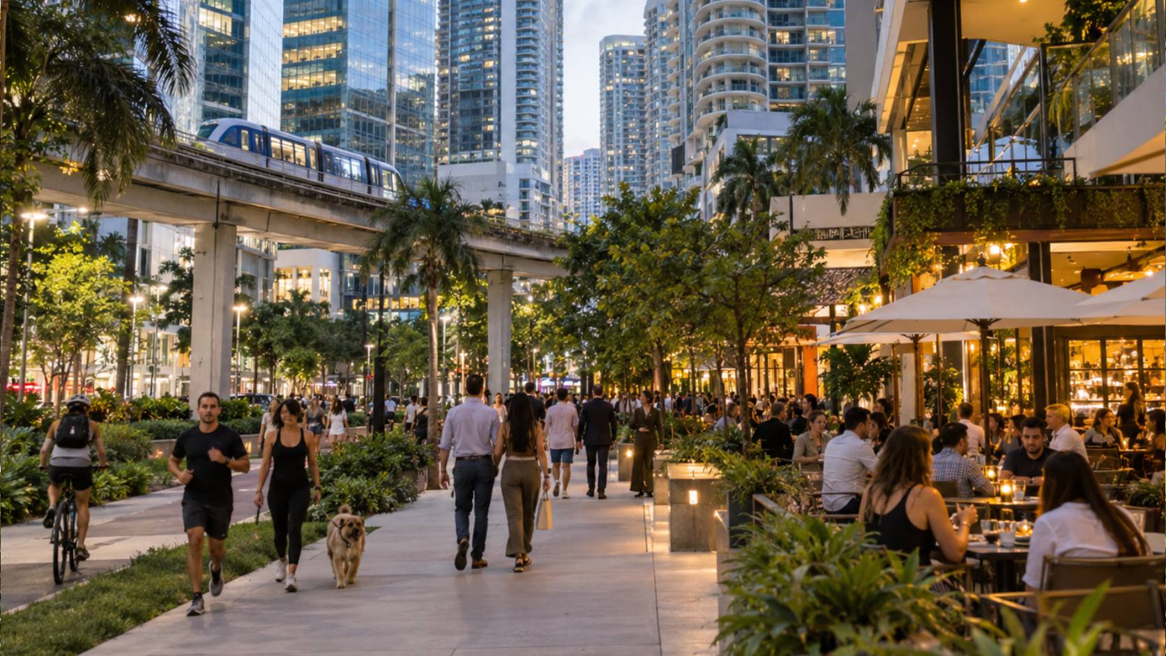
Brickell is known for three overlapping roles: a major business district, a high-rise residential neighborhood and an urban dining and entertainment center. Its history as an international banking hub explains why “Brickell Financial District” remains a familiar name, but modern Brickell is no longer primarily an office district.
Residential towers now dominate much of the skyline. Brickell City Centre and Mary Brickell Village concentrate shopping, restaurants and services, while the Underline has introduced new pedestrian, bicycle and recreation infrastructure beneath Metrorail.
That combination helps explain how Brickell functions differently from many other Miami neighborhoods. Instead of separating offices, housing, shopping and transportation into distant zones, the district places them within walking distance of one another. The result is a neighborhood that remains active well beyond traditional office hours.
A Brief History of Brickell
Historical Context
Brickell’s history begins long before Miami became a city. Archaeological evidence around the mouth of the Miami River documents settlement by the Tequesta people. At Brickell Point, the Miami Circle preserves evidence from the primary Tequesta village, including a circular formation cut into the limestone bedrock. The site is listed on the National Register of Historic Places and was designated a National Historic Landmark in 2009.
The modern neighborhood takes its name from William and Mary Brickell. The Brickell family settled on the south bank of the Miami River in 1871, established a trading post and accumulated substantial landholdings. Along with Julia Tuttle, the Brickells later played a role in persuading Henry Flagler to extend the Florida East Coast Railway to Miami. The railroad arrived in 1896, the same year Miami incorporated.
During the early 20th century, large waterfront estates transformed the southern portion of Brickell Avenue into what became known as Millionaire’s Row. Over subsequent decades, those estates gave way to commercial buildings, condominium towers and international banking offices. By the late 20th century, the corridor had begun taking the high-rise form that defines it today.
Brickell Today
Modern Brickell is a vertical mixed-use neighborhood. Condominiums, rental apartments, offices, hotels, restaurants and retail often occupy the same block and, in some projects, the same building.
Housing is heavily oriented toward multifamily development. Miami DDA’s 2025 Residential Analysis counted 19,021 existing condominium units in its Brickell submarket, along with 3,838 under construction and 1,304 proposed at the time of the report. The same study identified 2,739 existing purpose-built rental units, 1,479 under construction and 5,170 proposed. Those figures use the DDA’s own neighborhood geography and should not be treated as counts for every property marketed under a Brickell address.
Data Note
Brickell statistics can vary depending on the geography used. Miami DDA boundaries, ZIP codes, Census geographies and real estate search areas do not describe exactly the same territory. Figures should therefore be compared only when the underlying geography and methodology are consistent.
The larger point is not simply that Brickell has a large housing inventory. It is that continued development is changing how the neighborhood works at street level: more residents, more services, new public spaces and heavier construction are all appearing at the same time.
Key Landmarks in Brickell
Brickell City Centre
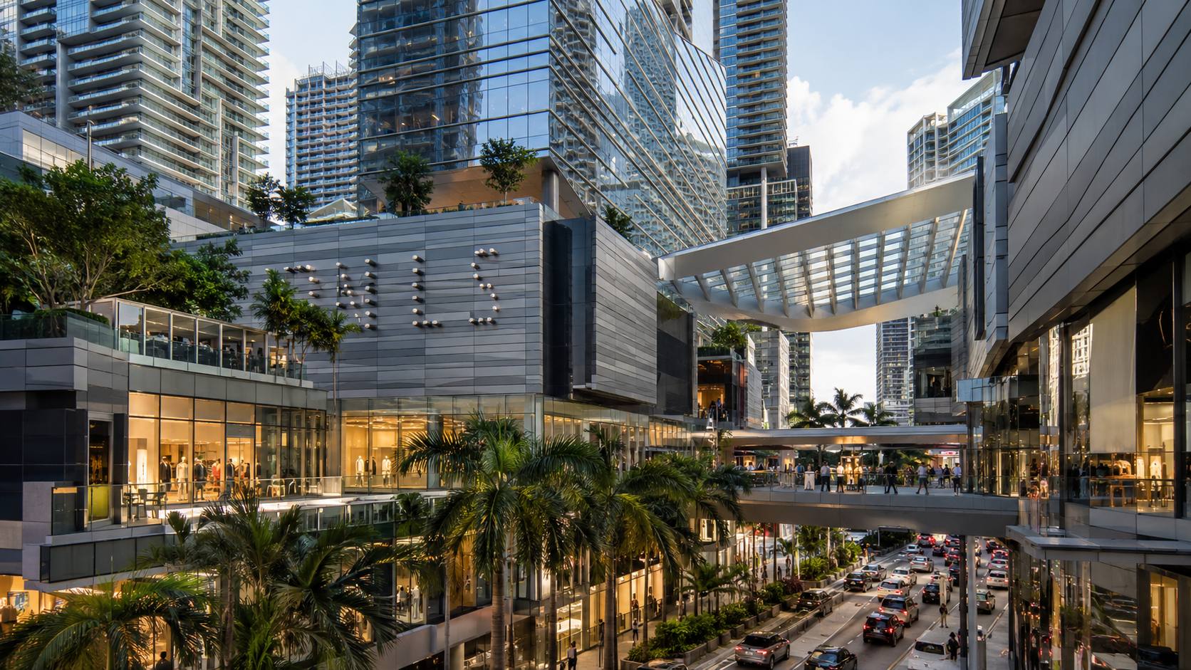
Brickell City Centre is one of the neighborhood’s largest mixed-use developments and an important reference point for understanding modern Brickell. Developed by Swire Properties and opened in 2016, the complex combines retail, residences, offices and a hotel across several blocks. Its shopping component contains roughly 500,000 square feet of space and is directly integrated with a Metromover station.
The complex is also known for the Climate Ribbon, a large canopy system designed to provide shade, channel breezes and protect portions of the open-air retail environment from rain.
Its importance to Brickell goes beyond shopping. The project reinforced the neighborhood’s shift toward a more mixed-use urban model and helped move part of Brickell’s commercial activity west toward South Miami Avenue.
Mary Brickell Village
Mary Brickell Village is an open-air commercial complex near South Miami Avenue and the Brickell transit station. Rather than functioning mainly as a destination mall, it acts more like an everyday neighborhood center, combining restaurants and nightlife with groceries, fitness, banking and personal services.
That mix makes the surrounding blocks particularly practical for residents. Dining, shopping, transit and routine errands can often be combined into the same trip without using a car.
Brickell Key
Brickell Key is a man-made island east of the mainland waterfront. Swire Properties entered a joint venture to develop the former Claughton Island site in 1978 and later developed a series of residential and commercial buildings there.
The island’s street pattern, central green space and perimeter Baywalk give it a noticeably different physical form from mainland Brickell. It is quieter, more residential and largely removed from through traffic, even though central Brickell is only a short walk away.
A Useful Distinction
Brickell and Brickell Key are closely connected, but they are not the same urban environment. Mainland Brickell is denser, more commercial and more closely integrated with transit. Brickell Key is primarily residential and organized around an island waterfront setting with limited through traffic.
Miami Circle
At the mouth of the Miami River, the Miami Circle provides one of the clearest reminders that Brickell’s history predates its modern towers by many centuries. Archaeologists identified a circular arrangement cut into the limestone bedrock as part of the larger Tequesta settlement around the river.
The National Park Service identifies periods of significance extending from approximately 500 BCE through later pre-Columbian occupation. The site became a National Historic Landmark in 2009. It is physically small compared with Brickell’s commercial developments, but historically it is among the neighborhood’s most important places.
The Underline and Brickell Backyard
The Underline converts land beneath Miami-Dade’s elevated Metrorail into a linear walking, cycling and public-space corridor. Its first section, Brickell Backyard, opened in 2021 and runs about half a mile from the Miami River to SW 13th Street through the Brickell transit area.
The completed Brickell section includes walking and bicycle paths, an outdoor gym, recreation areas, gardens and gathering spaces. More importantly, it turns infrastructure that once divided the neighborhood into a route that now helps connect it.
Simpson Park
Simpson Rockland Hammock Preserve Park offers one of the strongest contrasts to Brickell’s surrounding towers. The preserve protects more than eight acres of tropical hardwood hammock, a remnant of the historic Brickell Hammock ecosystem that once covered a much larger part of the area.
The City of Miami identifies more than 160 plant species within the preserve and operates walking trails and scheduled nature walks. Unlike a conventional recreation park, Simpson Park is primarily a natural preserve, and its rules and operating hours reflect that purpose.
Things to Do in Brickell
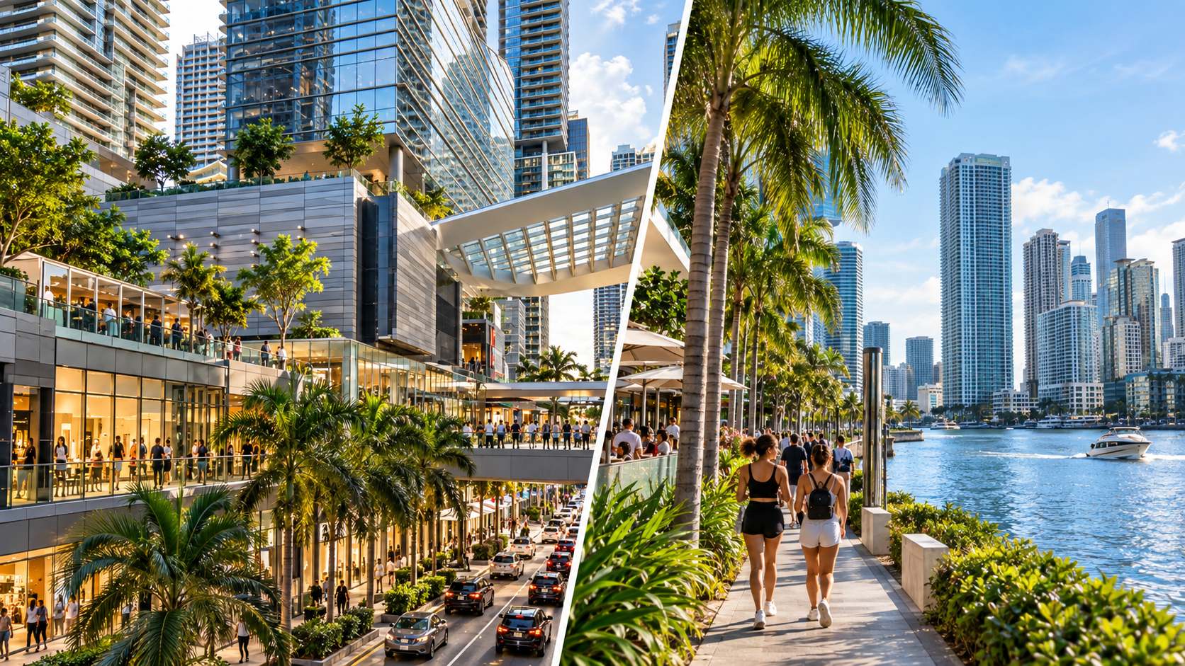
Explore Brickell City Centre
For a first visit, Brickell City Centre is an efficient starting point. Shopping, restaurants, architecture and Metromover access are concentrated within the same multi-block development.
It also works as an orientation point. Mary Brickell Village, the Underline, Brickell Metrorail station and the Brickell Avenue office corridor are all within a relatively short walk.
Walk Along the Waterfront
Brickell sits between the Miami River and Biscayne Bay, but waterfront access is less continuous than the skyline may suggest. Many towers occupy waterfront parcels, and public Baywalk and Riverwalk segments have been assembled gradually as properties are developed or improved.
Miami’s waterfront regulations require qualifying new waterfront development to provide a public promenade, while the Miami DDA continues working to close gaps in the larger Downtown Baywalk and Miami Riverwalk systems. The DDA currently describes the five-mile Downtown Baywalk as 89% complete.
For visitors, that means waterfront walking works best as a series of connected and semi-connected segments rather than as one uninterrupted Brickell promenade. Brickell Key offers the most obvious continuous waterfront walking experience nearby.
Planning Note
Do not assume that a waterfront route visible on a map forms one continuous public promenade. Access can change from one property to the next, and construction may temporarily affect individual segments. Check the current route if a waterfront walk is an important part of your visit.
Explore Brickell Key
A walk onto Brickell Key provides a useful counterpoint to the mainland. The perimeter Baywalk offers views toward Biscayne Bay, the Miami River and the Brickell skyline, while the island’s quieter streets create a noticeably different experience from central Brickell.
It is a good addition to a longer walking route, particularly for visitors more interested in water views and urban scenery than shopping or nightlife.
Spend Time in Brickell’s Parks and Green Spaces
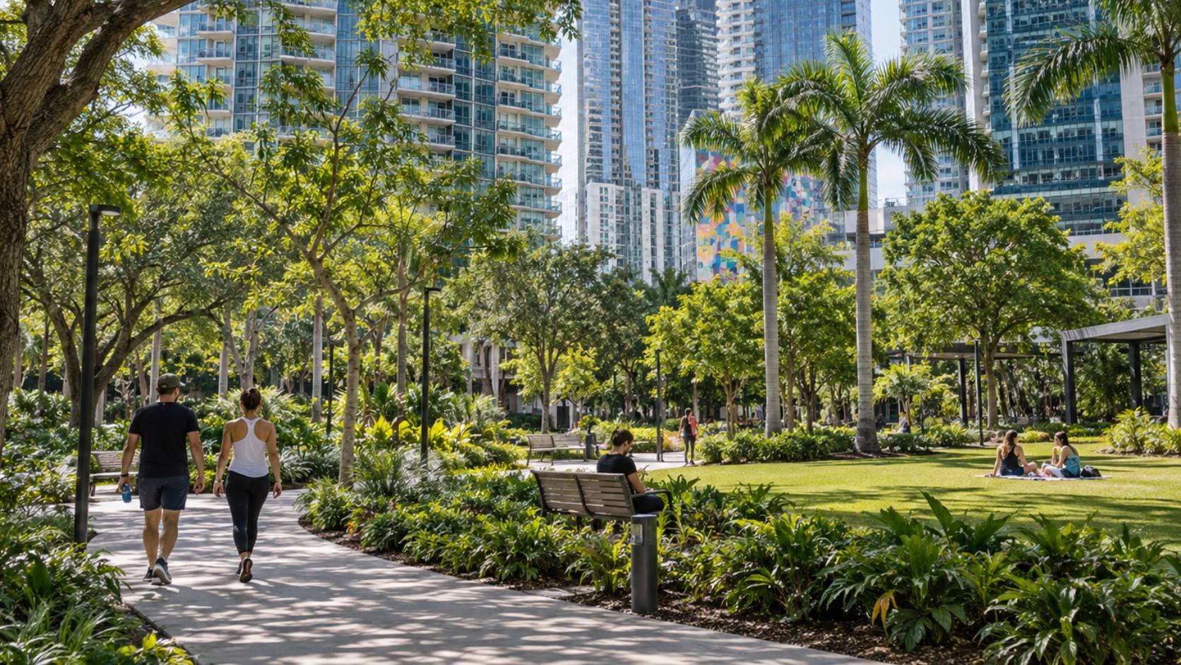
Brickell is not a park-dominated neighborhood, but its outdoor spaces are more varied than the skyline suggests. Simpson Park preserves native tropical forest, Brickell Backyard supports walking and recreation, and smaller waterfront spaces add seating and bay views.
The limitation is distribution. These spaces are spread through and around the neighborhood rather than concentrated in one large central park, so moving between them can involve busy streets, exposed sidewalks and considerable heat.
Discover Restaurants and Cafes
Brickell’s dining scene ranges from coffee shops and casual restaurants to large-format destination venues. The strongest concentrations are around Brickell City Centre, Mary Brickell Village, South Miami Avenue and the blocks surrounding Brickell Avenue.
Current examples include North Italia, Moxies, Mister O1, Shake Shack and Starbucks at Mary Brickell Village, while the wider neighborhood includes restaurants such as Komodo and Quinto. Restaurant turnover is common, so individual venues should be checked before planning a visit.
Experience Brickell’s Rooftops and Nightlife
Brickell nightlife is concentrated in restaurants, cocktail lounges, hotels and rooftop venues rather than large beachfront clubs. High-rise buildings make skyline and bay views a defining part of the experience.
Current examples include Rosa Sky, a 22nd-floor indoor-outdoor lounge, alongside other elevated venues throughout the district.
The character is different from both Miami Beach and Wynwood. Brickell nightlife is more closely integrated into hotels, residential towers and mixed-use developments, making nightlife part of the same vertical environment as housing, dining and offices.
Walk or Bike the Underline
The Underline is one of the easiest ways to experience Brickell as a piece of urban infrastructure rather than simply a collection of towers. Its separated paths, recreation areas, landscaping and transit access create a north-south corridor through the neighborhood.
It is both a recreational destination and a practical transportation route — a distinction that reflects Brickell’s broader shift toward a more pedestrian-oriented urban core.
Is Brickell Walkable?
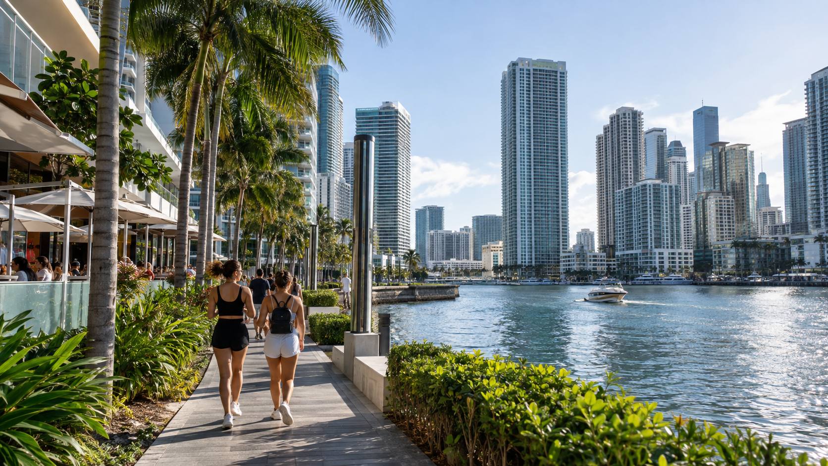
Yes. Much of central Brickell is practical to navigate on foot, particularly for trips among residences, offices, restaurants, shopping and transit. But high walkability does not mean every block offers the same level of comfort.
Getting Around Brickell on Foot
Density is Brickell’s main walkability advantage. Many everyday destinations are concentrated around Brickell Avenue, South Miami Avenue and the transit station. Walk Score, for example, currently gives a representative Brickell Avenue location a Walk Score of 99 and Transit Score of 96, although those scores apply to the specific mapped location rather than the entire neighborhood.
Real-world conditions are more complicated. Wide intersections, vehicle traffic, construction, summer heat, heavy rain and inconsistent shade can make short distances feel longer.
This distinction matters when evaluating Brickell as a place to live. The neighborhood may be highly walkable on a map while still offering very different pedestrian conditions from one block to the next.
Why It Matters
Walkability in Brickell is strongly influenced by the exact location of a building. Distance to transit, groceries and restaurants may look small on a map, but shade, intersections, construction and traffic can substantially change the everyday walking experience.
Brickell Metromover
Metromover is one of Brickell’s strongest transportation advantages. The elevated automated system is free and connects Brickell with Downtown Miami and the Arts & Entertainment area.
Miami-Dade currently operates 21 Metromover stations across its loops, with service generally running from 5:30 a.m. to 10 p.m. seven days a week. Within Brickell, stations include Brickell, Brickell City Centre, Tenth Street/Promenade and Financial District.
For short trips between Brickell and Downtown, Metromover can often be more convenient than driving, parking and moving a car again.
Brickell Metrorail Station
Brickell Station connects the neighborhood to Miami-Dade’s regional Metrorail system. Metrorail operates from 5 a.m. to midnight seven days a week and links Brickell with destinations including Coconut Grove, Coral Gables-area stations, Dadeland and Miami International Airport.
On weekdays, northbound Orange Line trains serve Miami International Airport directly from the main line. Under the current weekend operating pattern, airport-bound passengers transfer to the Airport Shuttle train at Earlington Heights.
Getting Around Without a Car
Living or staying in central Brickell without using a car for every trip is realistic. Metromover covers Brickell and Downtown, Metrorail handles longer north-south trips and airport access, Metrobus adds cross-town connections, and the City of Miami operates a free Brickell trolley route.
The limitations become clearer for east-west travel. Miami Beach, for example, is not connected to Brickell by rail, so reaching the beach typically requires a bus, rideshare, taxi or car.
Brightline’s Miami station is also in Downtown rather than Brickell, although it can be reached through the broader Downtown transit network.
Driving and Parking in Brickell
A car is useful for destinations outside the urban core, but inside Brickell it creates its own set of constraints. Traffic can slow around Brickell Avenue, South Miami Avenue, SW 8th Street and approaches to the Miami River.
The Brickell Avenue drawbridge can also interrupt traffic when it opens for marine vessels, although operating restrictions reduce openings during designated weekday peak periods.
Parking is primarily handled through private garages, paid public parking and valet operations. In practice, Brickell often works best when a car is parked once and shorter neighborhood trips are completed on foot or by Metromover.
Parks and Outdoor Spaces in Brickell
Simpson Park
Simpson Park is the neighborhood’s most ecologically distinctive green space. Instead of lawns and sports fields, much of the park consists of preserved tropical hardwood hammock with walking trails beneath dense native vegetation.
The City of Miami classifies the site as an old-growth forest community and identifies it as one of the remaining fragments of historic Brickell Hammock. Because it functions as a preserve, its hours and rules are more restrictive than those of a conventional neighborhood park.
The Underline – Brickell Backyard
Brickell Backyard is designed for movement as much as recreation. Its first half-mile includes bicycle and pedestrian paths, an outdoor gym, recreation areas, gardens and gathering spaces beneath and alongside Metrorail.
For residents, its importance is practical as well as recreational: it provides an outdoor exercise area while also improving pedestrian connectivity through the neighborhood.
Alice C. Wainwright Park
Alice C. Wainwright Park sits farther south along Brickell Avenue, beyond the densest high-rise core and near the transition toward Coconut Grove.
The City of Miami lists waterfront access, a natural forest community, basketball, a playground, outdoor fitness equipment, picnic facilities and dogs on leash among its features. Current hours are sunrise to sunset.
The park also preserves another remnant of the historic Brickell Hammock. City capital improvements have included seawall, drainage, landscape and Baywalk work intended in part to address sea-level rise, storm surge, erosion and flooding exposure.
Brickell Key Waterfront Walk
Brickell Key’s perimeter Baywalk is one of the most straightforward places near central Brickell for an extended waterfront walk. It provides changing views toward Downtown, the Miami River, Biscayne Bay and the Brickell skyline.
It is important to distinguish this experience from a beach. Brickell Key has a bayfront edge and waterfront walking areas, but no conventional sandy public beach.
Restaurants and Dining in Brickell
Dining Around Brickell City Centre
Brickell City Centre combines restaurants within the mixed-use complex with a much wider dining concentration on the surrounding blocks.
Its main advantage is convenience. A meal can be combined with shopping, entertainment, Metromover or a walk through central Brickell without moving a car.
Mary Brickell Village Restaurants
Mary Brickell Village has a more neighborhood-oriented dining pattern. Restaurants and cafes sit within an open-air commercial center surrounded by residential towers and everyday services.
Because grocery shopping, fitness and other routine destinations share the same area, dining here is closely integrated into daily neighborhood life rather than operating only as a visitor attraction.
Waterfront Dining
Waterfront dining exists in Brickell, but it is less extensive than the amount of shoreline might imply. Many bayfront parcels are occupied by residential and office towers, so some restaurants provide direct water views while others rely on elevated views from nearby buildings.
Current tourism listings include venues such as Cantina La 20 at Icon Brickell and Delilah near Brickell Key among the area’s water-oriented dining options. Because concepts and operating arrangements change relatively frequently, current locations and reservations should be checked before visiting.
Rooftop Restaurants and Bars
Rooftops are a more characteristic Brickell experience than beachfront dining. High-rise hotels and mixed-use towers support lounges and restaurants overlooking the skyline and Biscayne Bay.
Rosa Sky is currently located 22 stories above Brickell, while Seia operates atop 830 Brickell. Other elevated venues combine restaurant service with DJs or late-night programming.
The atmosphere varies considerably by venue, from dinner-oriented restaurants to cocktail lounges that become more nightlife-focused later in the evening.
Shopping in Brickell
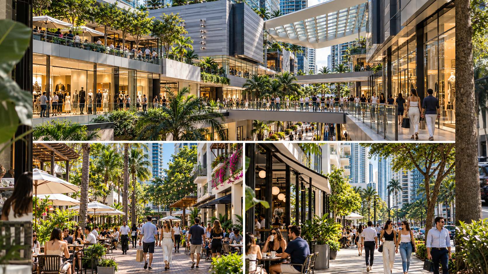
Brickell City Centre
Brickell City Centre is the neighborhood’s principal destination for fashion, beauty, entertainment and higher-end retail. Its retail component spans four levels across three city blocks and is connected internally by pedestrian bridges and the Climate Ribbon.
Direct Metromover access is particularly useful in a dense district where driving even a short distance can mean dealing with traffic and another parking garage.
Mary Brickell Village
Mary Brickell Village is more oriented toward routine neighborhood needs, with restaurants, groceries, fitness, banking, telecommunications and personal services.
The distinction between the two centers is useful: Brickell City Centre functions as the larger shopping and entertainment destination, while Mary Brickell Village plays more of a daily-needs role.
Local Shops and Services
Beyond the two major centers, pharmacies, grocery stores, salons, fitness studios, cafes, banks and professional services occupy storefronts throughout central Brickell.
Convenience, however, varies by location. Residents evaluating a particular building should look at actual walking routes to groceries, transit and other services rather than assuming every Brickell address offers the same experience.
Brickell New Construction and Development
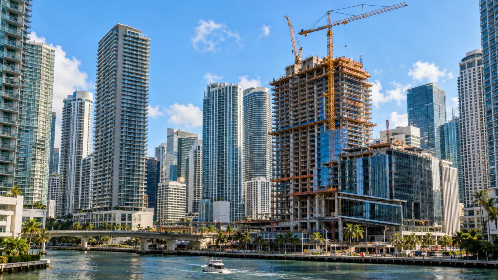
How New Development Is Changing Brickell
Brickell remains in an active construction cycle, but current development is doing more than adding conventional condominium towers. New projects increasingly combine residences with hospitality brands, offices, retail and public-space improvements.
Miami DDA’s 2025 analysis counted 19,021 existing condominium units and another 3,838 under construction within its Brickell study geography at that time. The size of that pipeline helps explain why construction remains such a visible part of everyday life.
For buyers, the neighborhood-wide numbers tell only part of the story. Building age, reserves, assessments, insurance, maintenance, views, unit size, rental rules and construction status can differ substantially between properties. Resale condominiums, new construction and branded residences therefore operate as related but distinct segments of the Brickell market.
New Residential Towers in Brickell
Projects underway or recently reaching completion range from relatively low-rise residential developments to very tall mixed-use towers.
At 2200 Brickell, Aria Development Group describes a 105-residence project on the southern portion of Brickell Avenue; project construction sources reported completion in the third quarter of 2026.
Cipriani Residences Miami at 1420 South Miami Avenue has reached vertical completion, according to the project’s official site, with occupancy currently announced for summer 2027. The project lists 397 residences in an 85-story tower.
Because completion and occupancy dates come from developer materials, they should be treated as current announced schedules rather than guaranteed delivery dates.
Branded Residences and Luxury Developments
Hospitality, automotive and fashion branding has become an increasingly visible part of Brickell’s new-construction market.
Mercedes-Benz Places is being developed by JDS Development Group with Mercedes-Benz and a design team that includes SHoP Architects and Woods Bagot. Mercedes-Benz USA has stated that estimated occupancy is planned for 2027.
Other branded projects include Cipriani Residences, the planned Dolce&Gabbana residences and hotel at 888 Brickell, and The St. Regis Residences, Miami at 1809 Brickell Avenue.
These projects also illustrate an important distinction for preconstruction buyers. Renderings, announced amenities, branded services and anticipated delivery dates describe a proposed product. Completed buildings, certificates of occupancy and recorded condominium documents provide a different level of certainty.
Public Spaces and Infrastructure Projects
Development is also reshaping Brickell at street level. The Underline has turned space beneath Metrorail into a mobility and recreation corridor, while Baywalk and Riverwalk programs continue connecting public waterfront segments.
Southside Park illustrates the overlap between private development and public space. The City of Miami currently lists the park as closed until further notice, while the adjacent Mercedes-Benz Places project describes a redesigned park with new landscaping and recreation facilities. Until the city formally reopens it, planned features should not be treated as currently available amenities.
On Brickell Key, Swire Properties is also planning the Residences at Mandarin Oriental and a new hotel at the island’s southern end. Swire describes the project as its final development on Brickell Key.
How to Spend a Day in Brickell
Morning: Parks, Coffee and the Waterfront
Start early, particularly during warmer months. A morning walk through Simpson Park provides the strongest contrast with Brickell’s surrounding towers, while Brickell Backyard offers a more active route for walking, running or cycling.
From there, continue toward the waterfront or cross onto Brickell Key for a longer walk around the island. Morning is generally more comfortable for exposed waterfront sections before midday heat becomes a larger factor.
Afternoon: Brickell City Centre and the Neighborhood
Use the afternoon to explore Brickell City Centre, Mary Brickell Village and the surrounding streets.
The value of this route is not simply seeing the neighborhood’s major commercial destinations. Walking between them reveals how Brickell works at ground level: residential lobbies, grocery stores, restaurants, gyms, offices and transit stations are layered closely together beneath the towers.
For historical context, continue north toward the Miami River and Miami Circle. The archaeological site adds a much older layer to a district otherwise dominated visually by 20th- and 21st-century development.
Evening: Dining, Rooftops and Nightlife
In the evening, Brickell’s activity shifts toward restaurants, hotel venues and rooftops. Dinner can be followed by a skyline-view bar or a walk through the central district.
Once in central Brickell, visitors interested in nightlife do not necessarily need a car. Restaurants and bars are concentrated closely enough that walking, Metromover and rideshare can cover many evening trips, although current transit schedules should be checked in advance.
Brickell and Nearby Miami Neighborhoods
Downtown Miami
Downtown Miami begins across the Miami River and is physically close to Brickell, but the two districts are not interchangeable.
Downtown contains government buildings, historic Flagler Street, Bayside Marketplace, Kaseya Center, major cultural institutions and MiamiCentral/Brightline. Brickell has a larger concentration of modern residential towers and retains its long-standing association with Miami’s financial district.
Metromover makes the boundary easy to cross without a car, so residents and visitors often use the two areas as one larger urban core even though their land uses and identities differ.
Brickell Key
Brickell Key is immediately adjacent to mainland Brickell but offers a different urban form. The island is primarily residential, with a perimeter waterfront walk and comparatively little through traffic.
It remains closely tied to mainland Brickell for major shopping, dining, offices and transit. The single normal road connection across the Brickell Key bridge reinforces its physical separation despite the short distance involved.
Coconut Grove
Coconut Grove lies southwest of Brickell and differs substantially in physical form. Its commercial core is lower-rise, its streets include more mature tree canopy, and residential areas extend farther beyond the central shopping district.
Metrorail provides a useful connection between the broader Brickell and Coconut Grove areas, although Grove destinations are not all immediately beside the station.
For someone comparing the two neighborhoods, the main distinction is urban form: Brickell concentrates housing and amenities vertically, while Coconut Grove spreads them across a lower-density street network.
Key Biscayne
Key Biscayne is an island community reached from the mainland by the Rickenbacker Causeway south of Brickell. Unlike Brickell, it provides direct access to major beach and recreation areas, including Crandon Park and Bill Baggs Cape Florida State Park.
There is no rail connection from Brickell to Key Biscayne, so trips generally require road transportation or a bicycle. For Brickell residents and visitors, it is one of the closest areas for a conventional beach outing.
Frequently Asked Questions About Brickell
What is Brickell known for?
Brickell is known for its concentration of high-rise condominiums and offices, its long-standing role as Miami’s financial district, Brickell City Centre, restaurants and nightlife, and access to Metrorail and the free Metromover. It has evolved from an office-centered business district into a mixed-use neighborhood where residential, commercial and hospitality uses operate side by side.
What are the best things to do in Brickell?
Common Brickell activities include exploring Brickell City Centre, walking around Brickell Key, visiting Miami Circle, using Brickell Backyard and the Underline, visiting Simpson Park, dining around South Miami Avenue and Brickell Avenue, and spending an evening at a rooftop venue.
The neighborhood is better suited to an urban walking, dining and architecture itinerary than to a conventional beach day.
Is Brickell walkable?
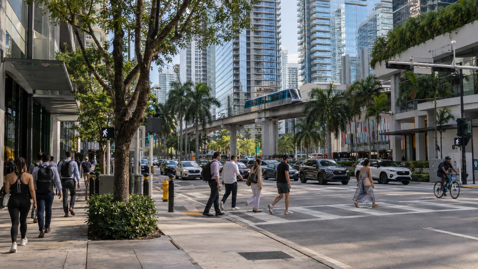
Central Brickell is highly walkable by Miami standards because housing, offices, restaurants, shopping and transit are concentrated within a relatively small area. A representative Brickell Avenue location currently receives a Walk Score of 99.
Conditions still vary by block, and heat, rain, traffic, construction, wide intersections and limited shade can affect the actual walking experience.
Can you get around Brickell without a car?
Yes. Many daily trips can be made by walking, Metromover, Metrorail, bus, trolley or rideshare. Metromover is free and connects Brickell with Downtown, while Metrorail provides regional connections and access toward Miami International Airport.
A car becomes more useful for destinations not well served by rail, including many beaches and suburban areas.
Does Brickell have parks?
Yes. Outdoor spaces include Simpson Rockland Hammock Preserve Park, Brickell Backyard and the Underline, waterfront parks and nearby Alice C. Wainwright Park. Brickell Key also has green space and a perimeter waterfront walk.
These spaces are distributed through and around the neighborhood rather than concentrated in one large central park.
Does Brickell have a beach?
No. Brickell fronts Biscayne Bay and the Miami River, but it does not have a conventional sandy public beach.
For a beach outing, people typically travel to Key Biscayne or Miami Beach. Brickell’s waterfront experience instead consists of Baywalk and Riverwalk segments, parks, marina and river views, and the Brickell Key waterfront path.
Is Brickell the same as Downtown Miami?
No. Brickell and Downtown Miami are neighboring parts of Miami’s urban core separated by the Miami River.
Brickell is south of the river and includes the financial district and a large concentration of residential towers. Downtown is north of the river and includes the traditional central business district, government center, Flagler Street, MiamiCentral and several major cultural and entertainment destinations.
How long do you need to explore Brickell?
A half day is enough to see Brickell City Centre, the central streets and one or two nearby landmarks. A full day allows time for Brickell Key or the waterfront, a park or the Underline, shopping, dining and an evening rooftop or nightlife stop.
Understanding Brickell as a place to live or buy property takes longer than sightseeing. The neighborhood changes noticeably from the Miami River to South Brickell and from the transit-oriented blocks around South Miami Avenue to the waterfront.
That variation may be Brickell’s most important characteristic for prospective residents and buyers. Two buildings only a few blocks apart can differ substantially in construction activity, transit access, parking, condominium rules, assessments and proximity to everyday services. Brickell is compact, but it is not uniform — and evaluating it well means looking at the individual building and its immediate surroundings, not only the neighborhood name.